Who Shorewise is for
Shorewise is designed for recreational boaters and skippers who want to prepare shorter trips more easily and keep important context close at hand while underway.
A case study of a mobile app that brings trip planning, marine conditions and timely alerts together for Adriatic boaters.
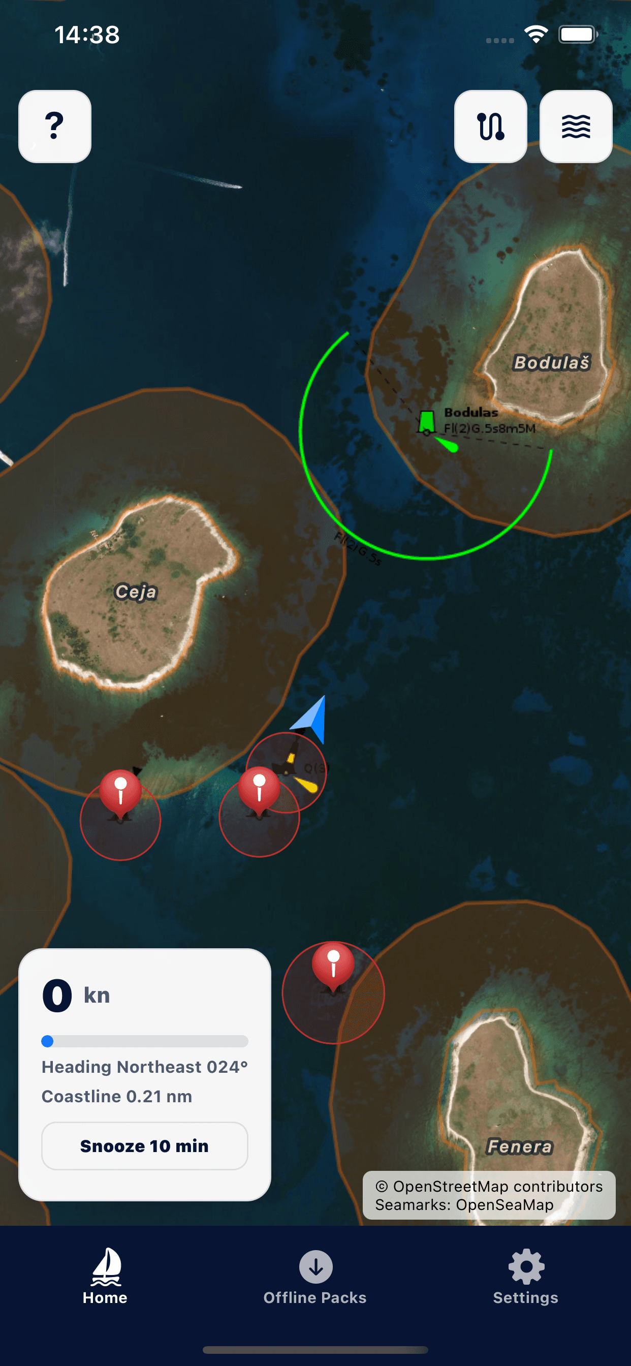
Satellite map with vessel position and seamarks
Shorewise is designed for recreational boaters and skippers who want to prepare shorter trips more easily and keep important context close at hand while underway.
Before and during a trip, important information is often split across a chart, weather forecast and several different tools. On the water, that means more switching, less context and slower reactions when conditions change.
The experience is organised around the map and the current situation. Route planning, alerts, anchoring, forecasts and nearby places are grouped by the decision the user needs to make at that moment.
Position, shore distance, speed, route and marine conditions are available without constantly switching between several apps.
Coastal-zone, speed and anchor-drift alerts help the user notice situations that need attention sooner.
Routes, arrival estimates, forecasts and details about marinas, fuel and anchorages provide a clearer picture before departure.
Review your current position, wind, waves and relevant information for the cruising area.
Choose a destination, review the route and estimated arrival time, and find useful nearby places.
Use shore and speed alerts while underway, then monitor movement beyond a set radius while anchored.
Explore the app and its available features in more detail.
Tell me what you do and what you want to improve. We can work out a useful next step together.
Tell me about your project